 |
 |
 |
 |
 |
 |
 |
 |
 |
 |
 |
| Last Updated: Mon Feb 11 18:47:58 UTC 2019 |
|
|
|
|
|
|
|
|
|
|
|
| Last Updated: Mon Feb 11 18:47:58 UTC 2019 |
| The Cocos (Keeling) Islands |
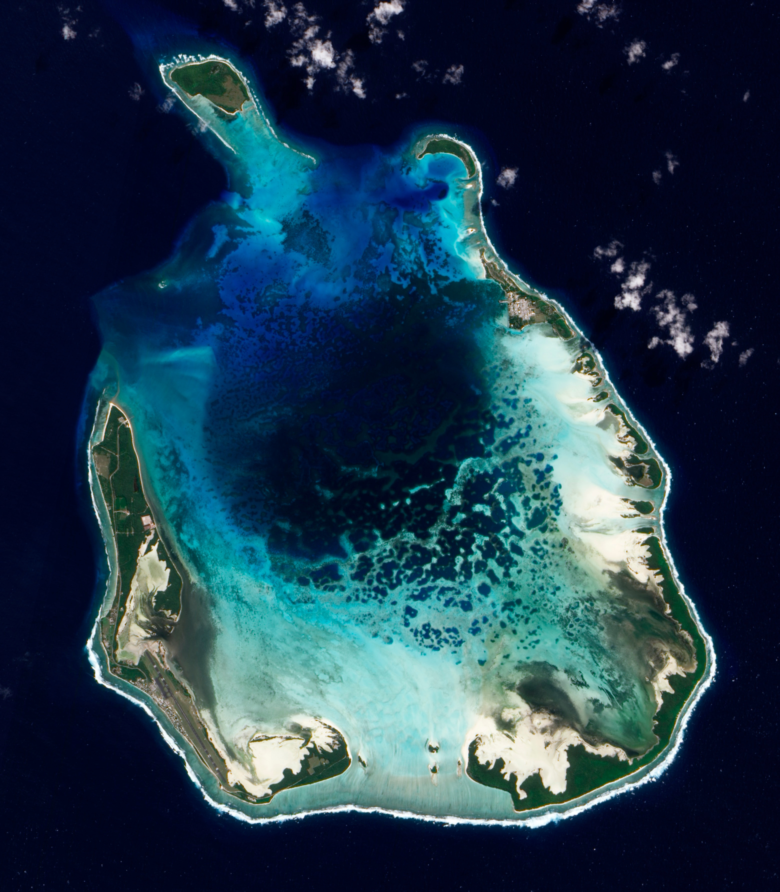 NASA EO-1
image of the Cocos (Keeling) Islands taken in 2009. The best anchorage
is off Direction Island at the NE rim of the atoll, with excellent deep
water access for larger logistical vessels. The central lagoon is too
shallow for military use, and environmentally fragile (NASA).
|
|
Discovered in 1609, the Cocos
(Keeling) Islands were initially a privately owned asset, granted to
the Clunies-Ross family in perpetuity by Britain in 1886, with
jurisdiction transferred to Australia in 1955, and the Clunies-Ross
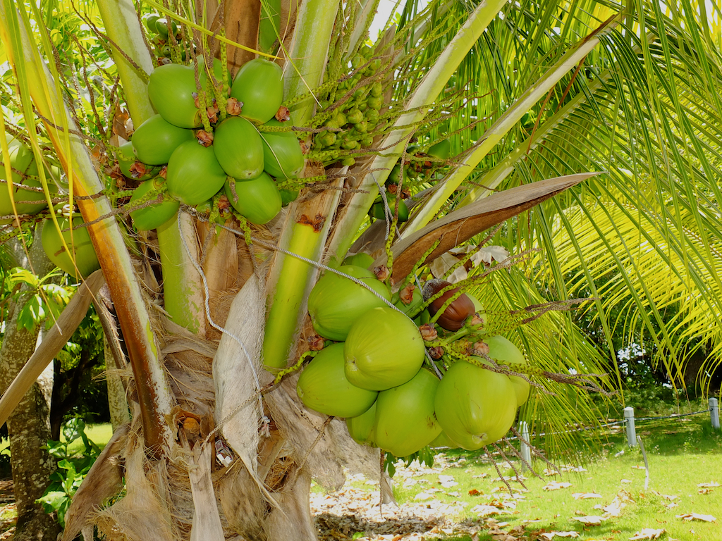
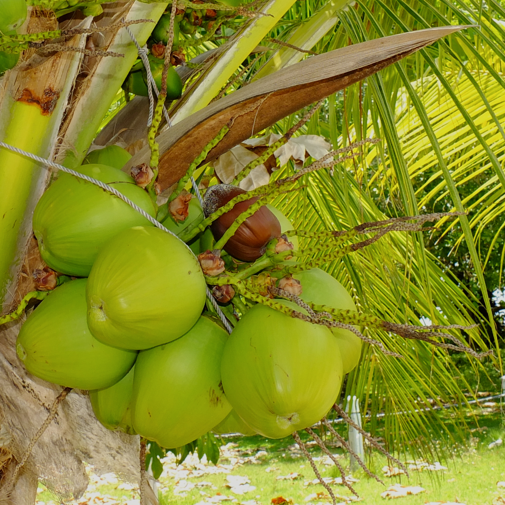
family losing control of the islands by the late 1970s. The economy was
since initial colonisation based on palm tree plantations, but more
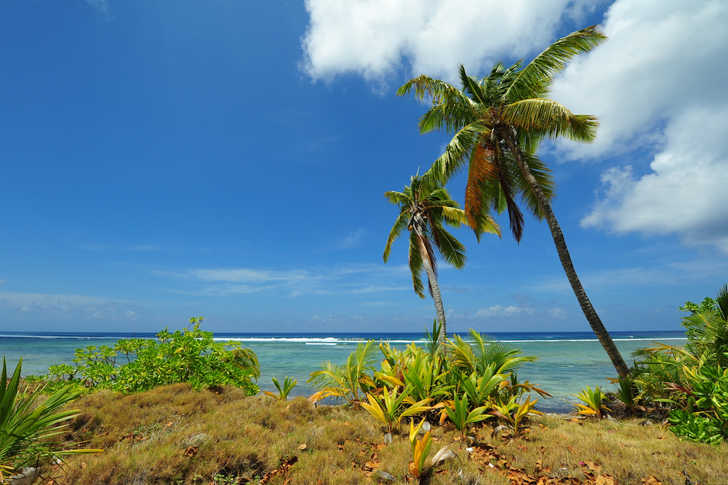
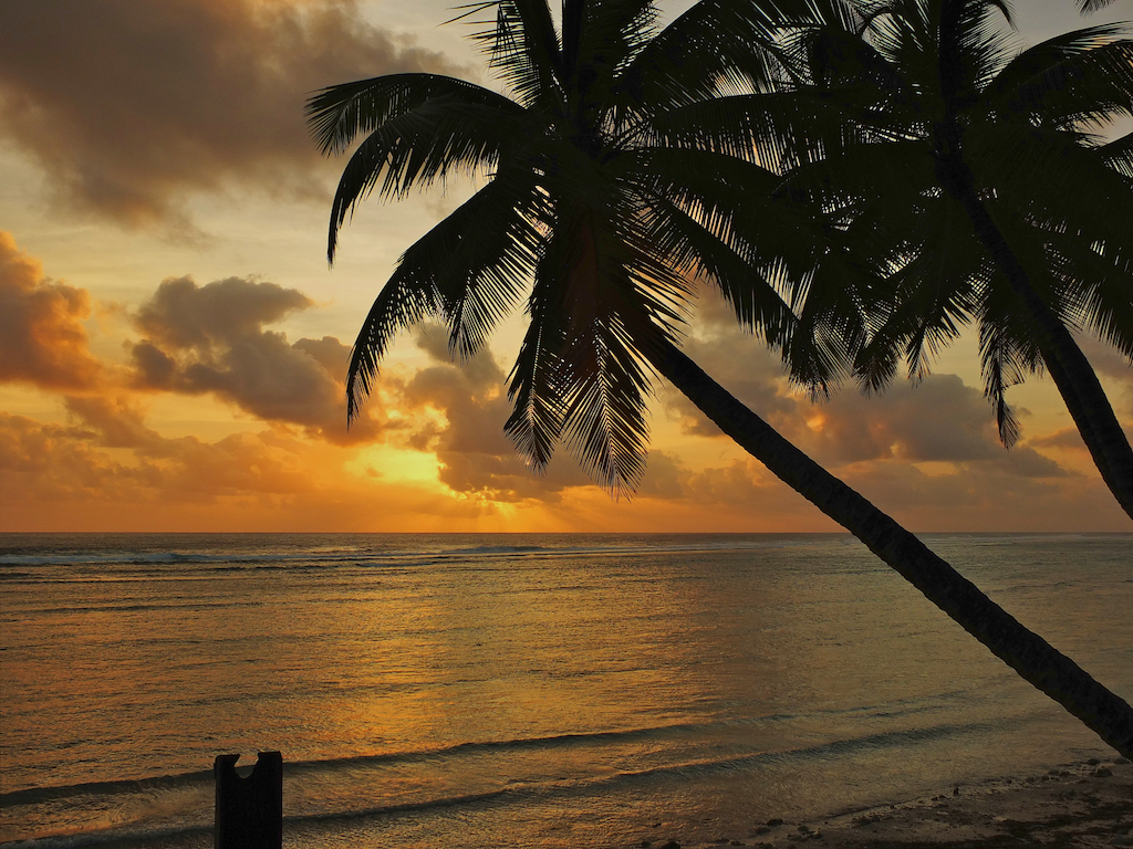
recently eco-tourism, especially for divers, has become prominent. This
web
page
contains
a
selection
of
pictures taken in October, 2012, in the Cocos (Keeling) Islands. Photos ©
2012 Gregory and Anna Molga; Imagery: Nikon D700, Fujifilm X-S1.
Map of the Cocos (Keeling) Islands
(Central Intelligence Agency).
|
 |
|
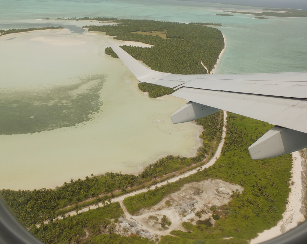
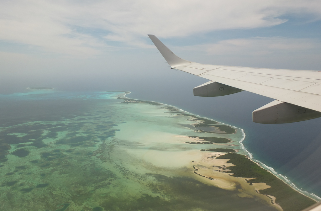
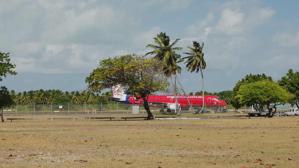
Aerial Views and Airport |
   |
|
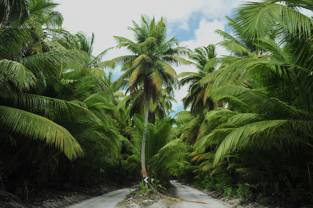
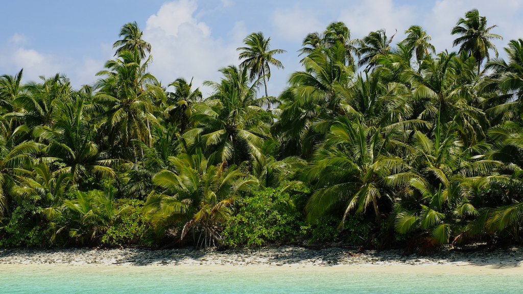
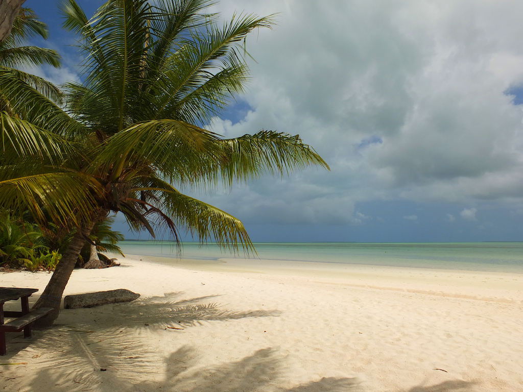
West Island |
           |
|
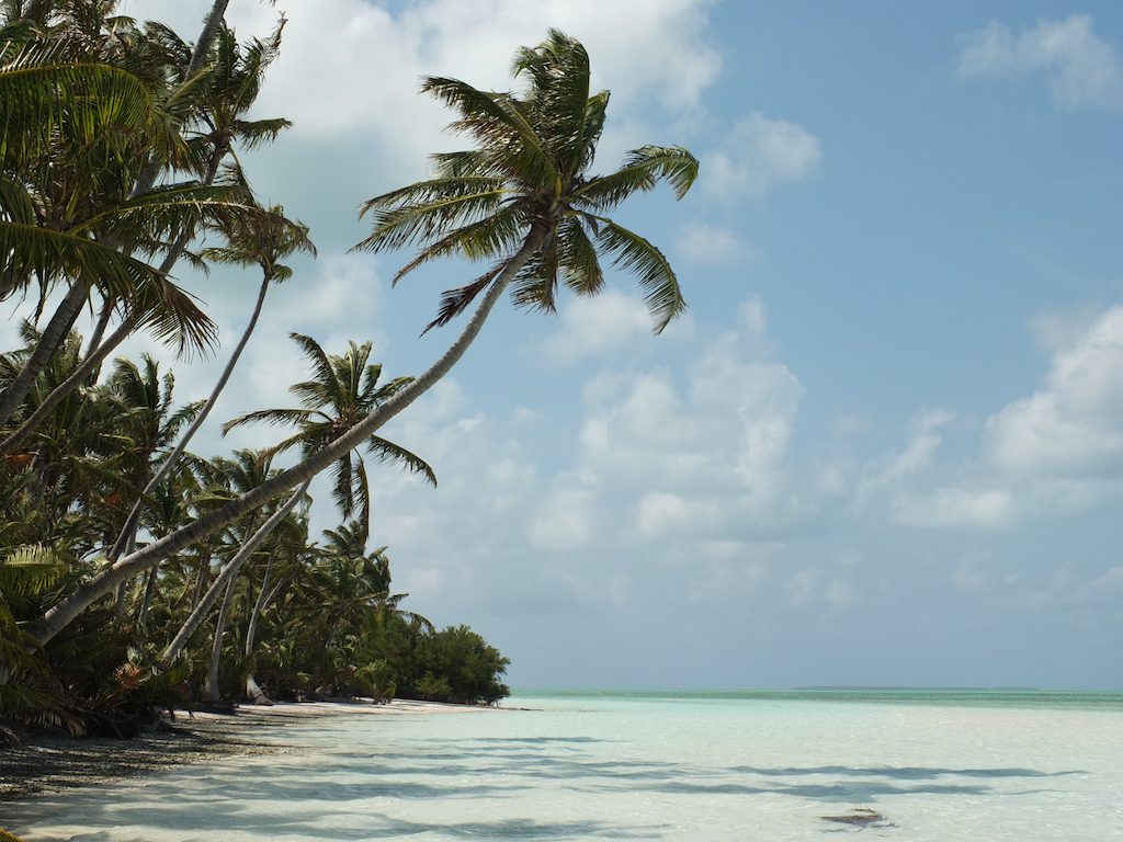
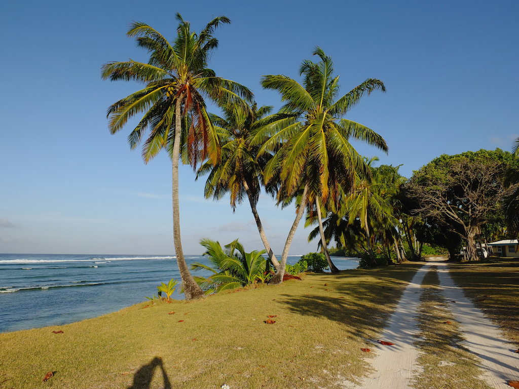
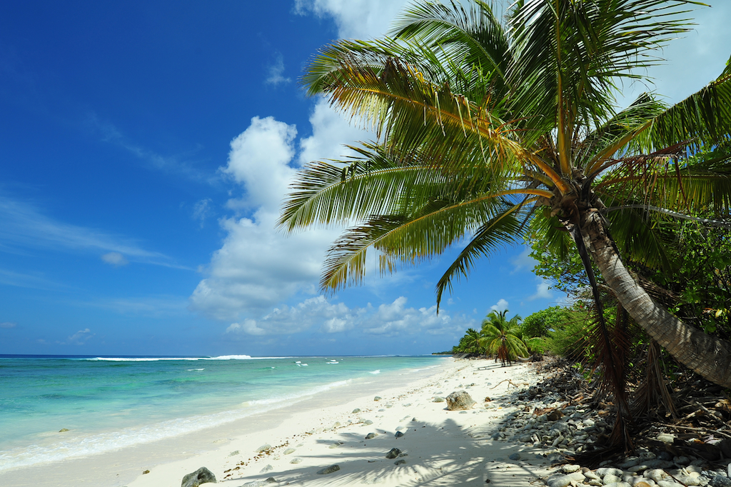
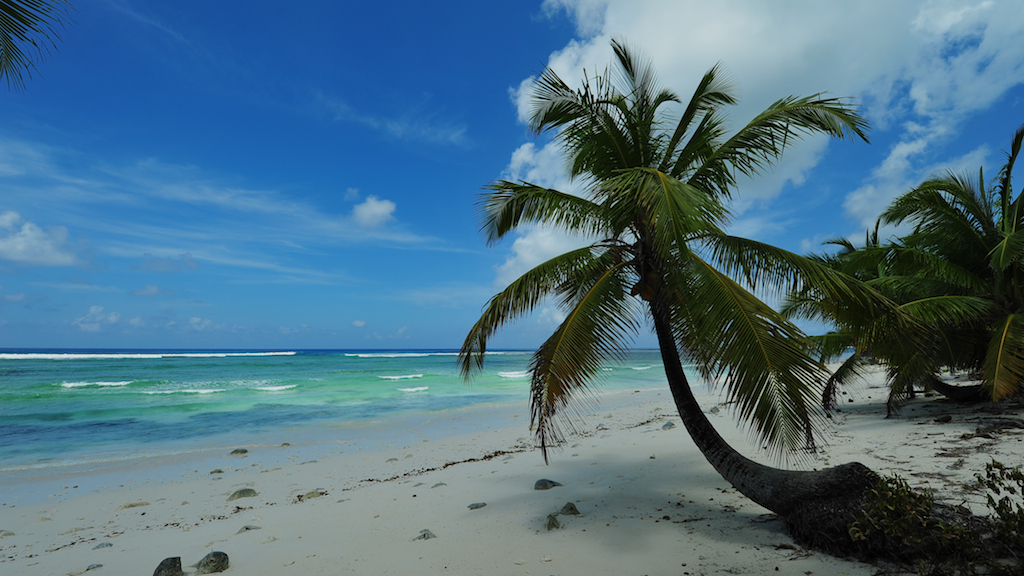
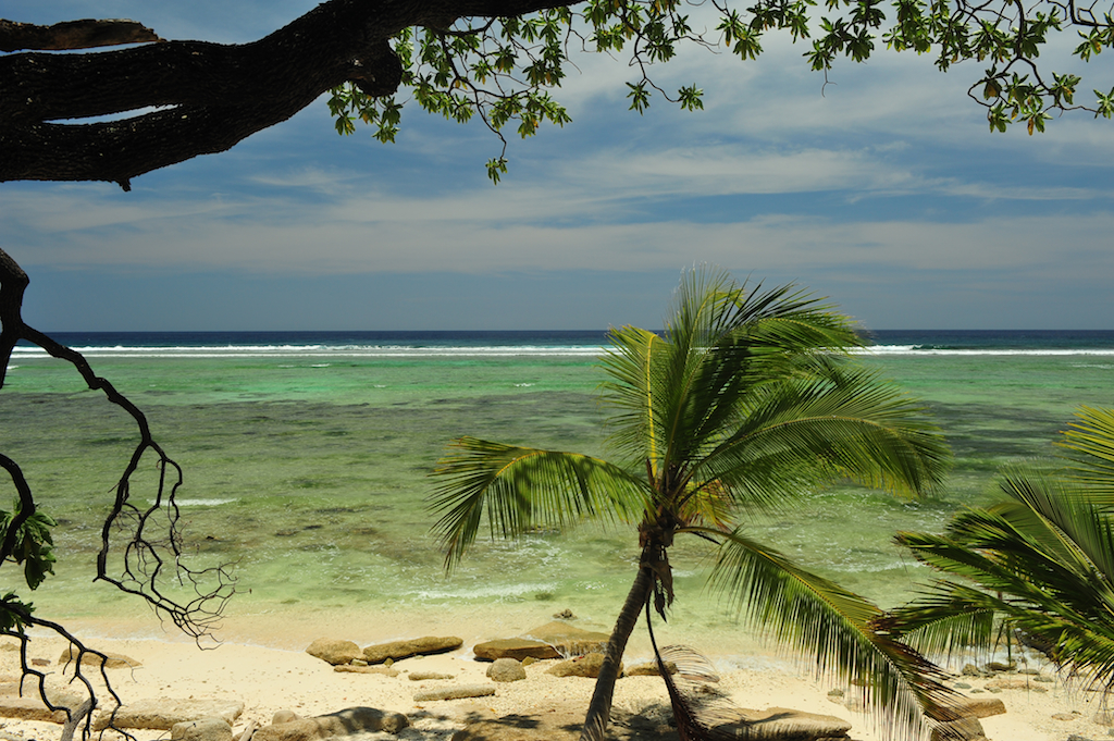
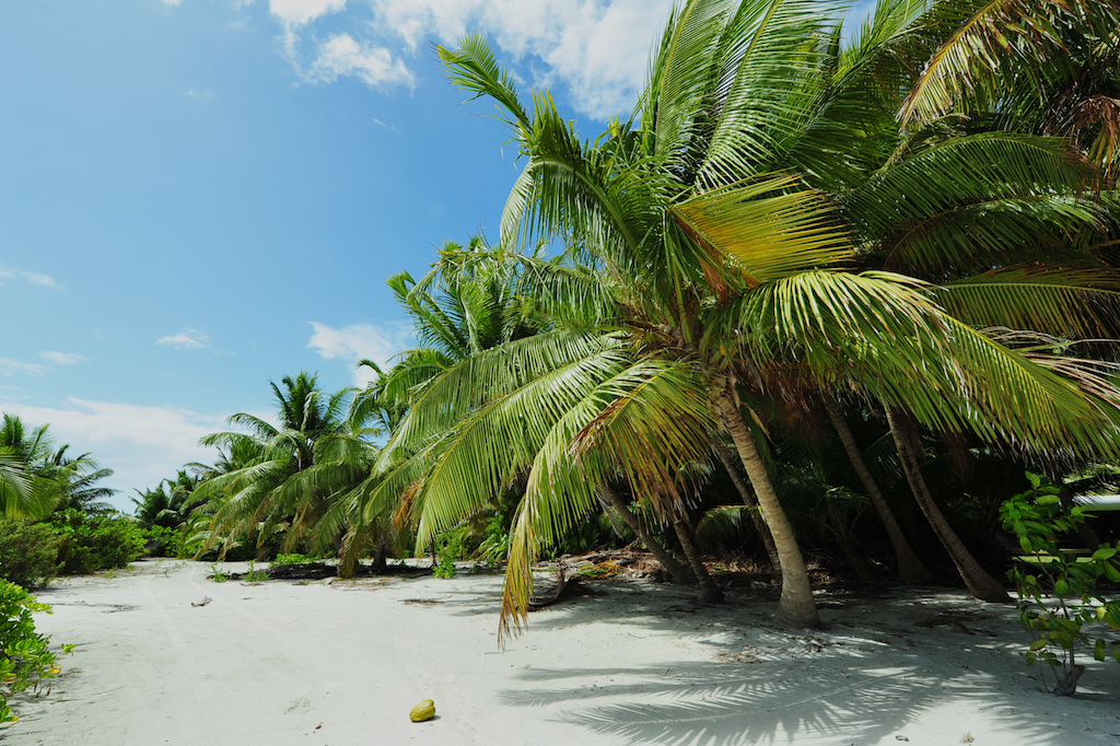
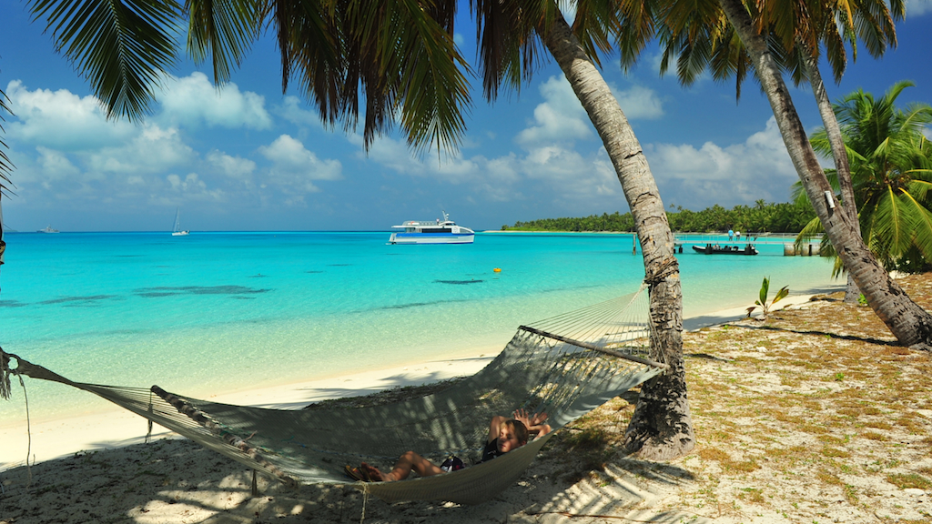
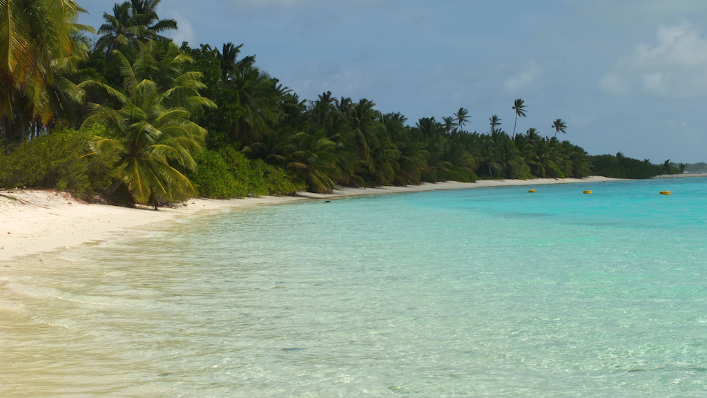
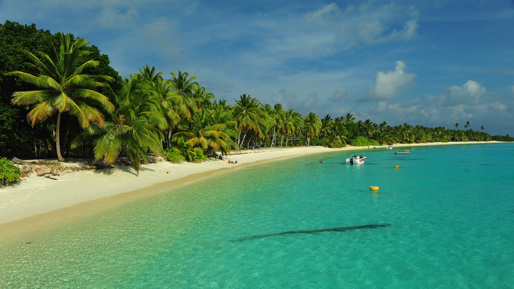
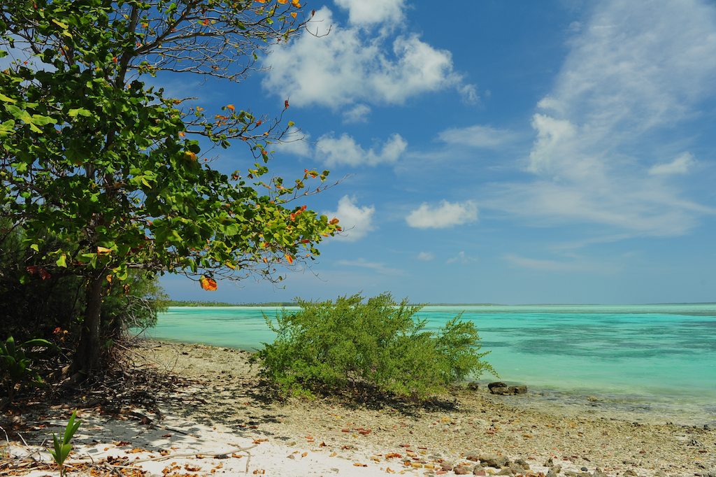
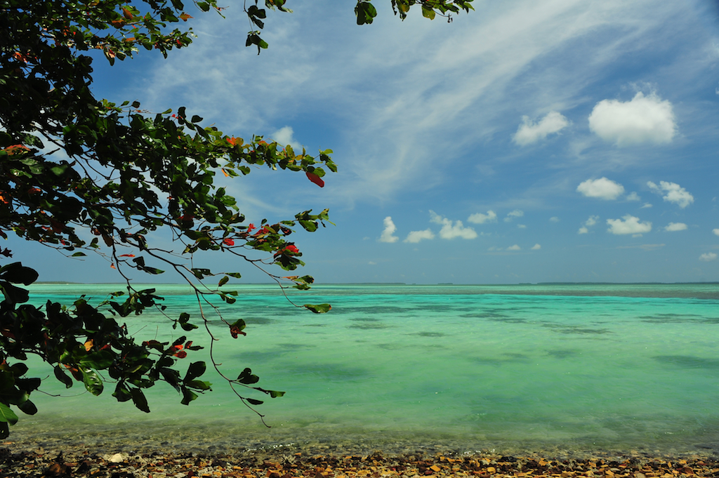
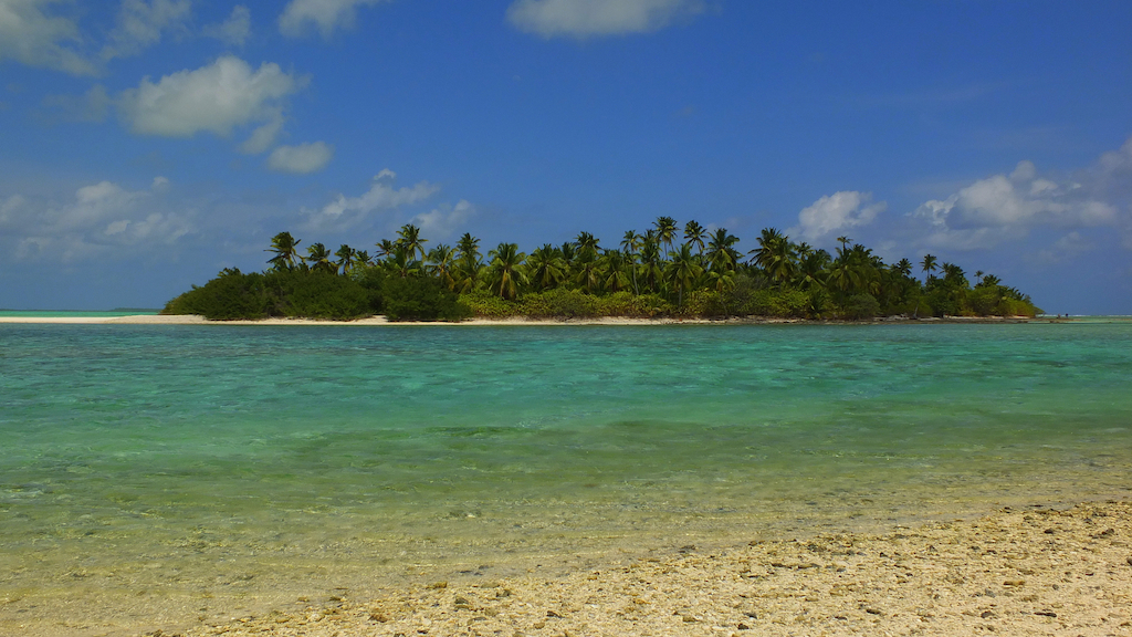
Direction Island |
     |
|
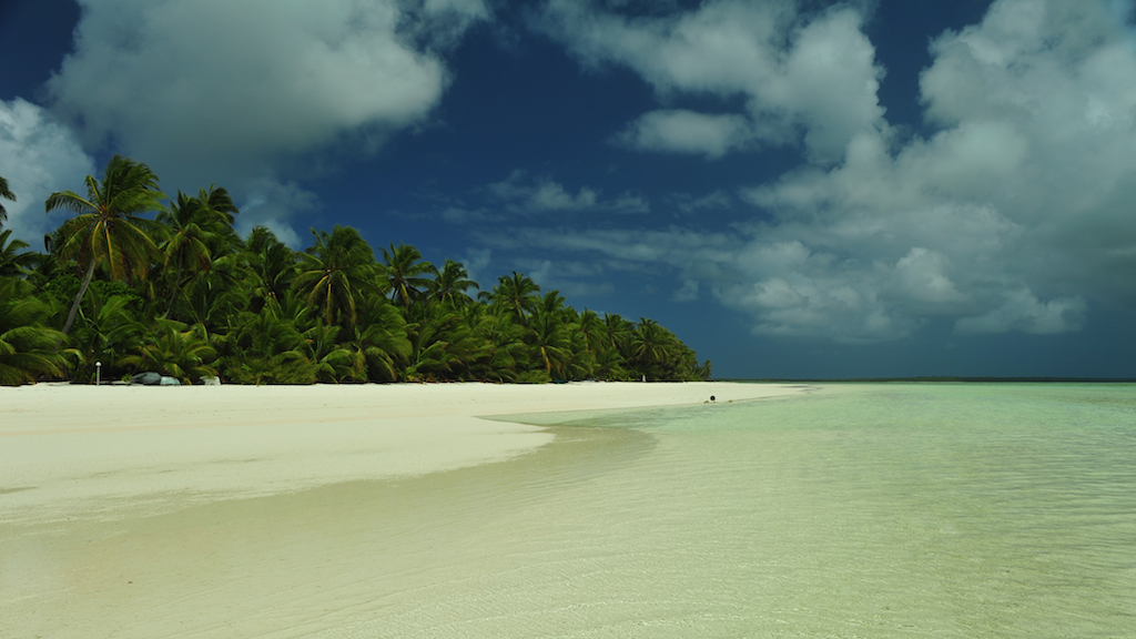
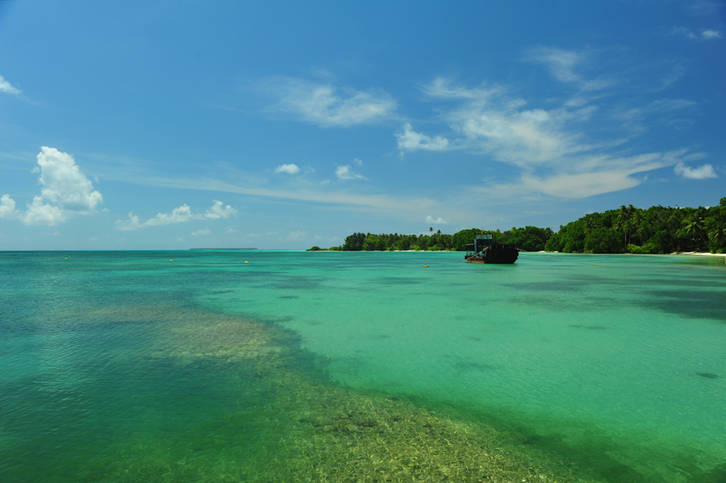
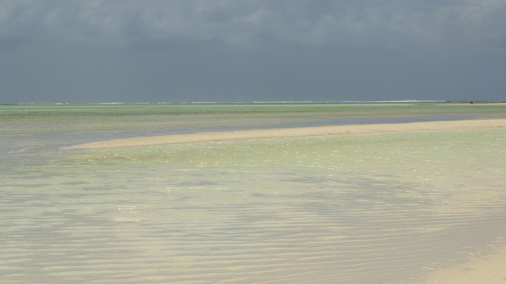
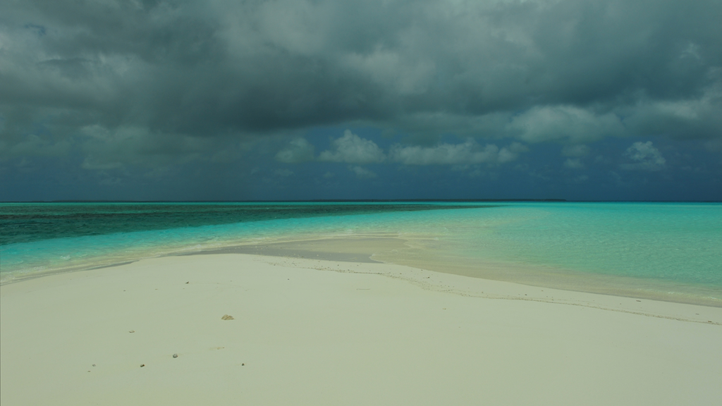
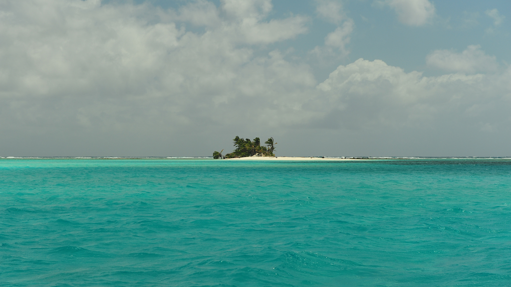
Central Lagoon |
       |
|
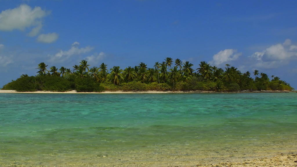
Pulu
Maria
Island
|
   |
|
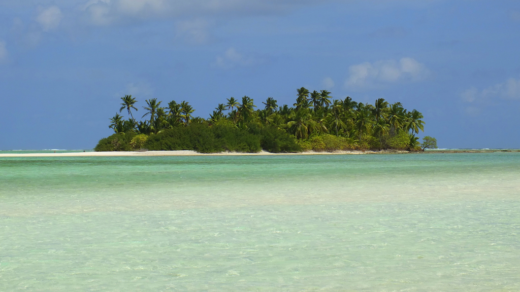
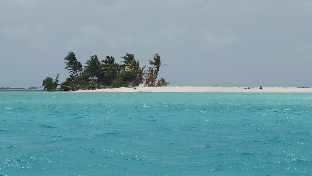
Prison Island |
  |
|
|
|
|||||||||||||||
| Artwork and text © 1994 - 2010 Carlo Kopp; All rights reserved. |
| $Revision: 2.279 $ |
